Our services
Field locating, scanning and GIS-ready data for Texas cities, MUDs, water supply corporations and the engineers and contractors working for them.
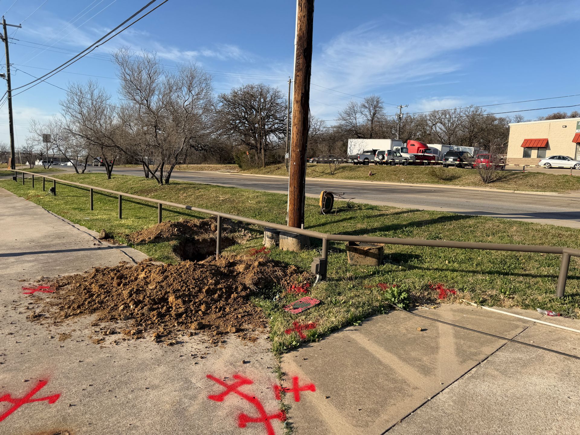 Service Line Inventory Field DataLocate curb stops and meter boxes, trace service lines and record GPS points and photos for your LCRI inventory.Learn more →
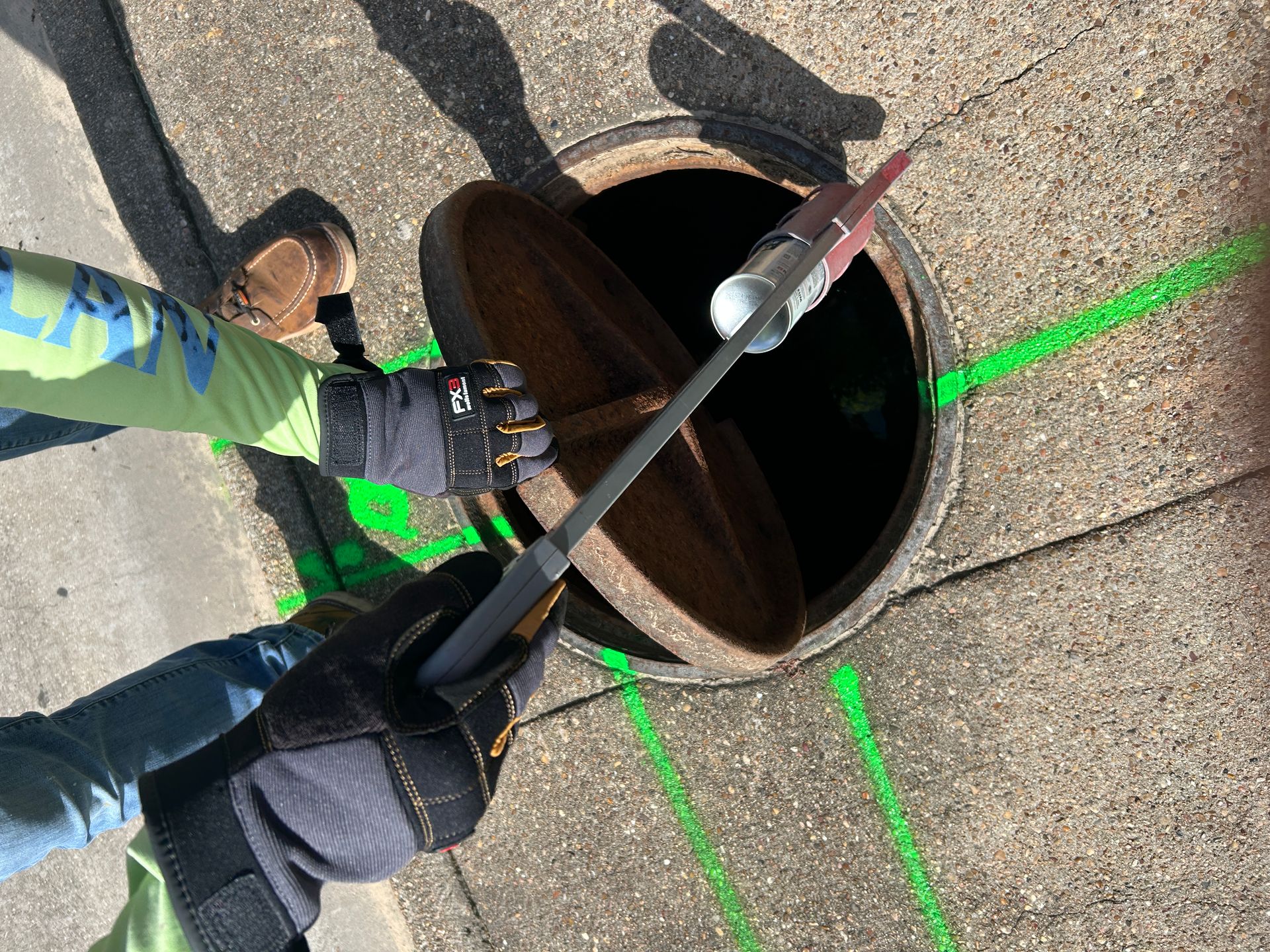 Service Line & Curb Stop LocatingElectromagnetic and GPR locating of service lines, curb stops and meter boxes, marked in the field.Learn more →
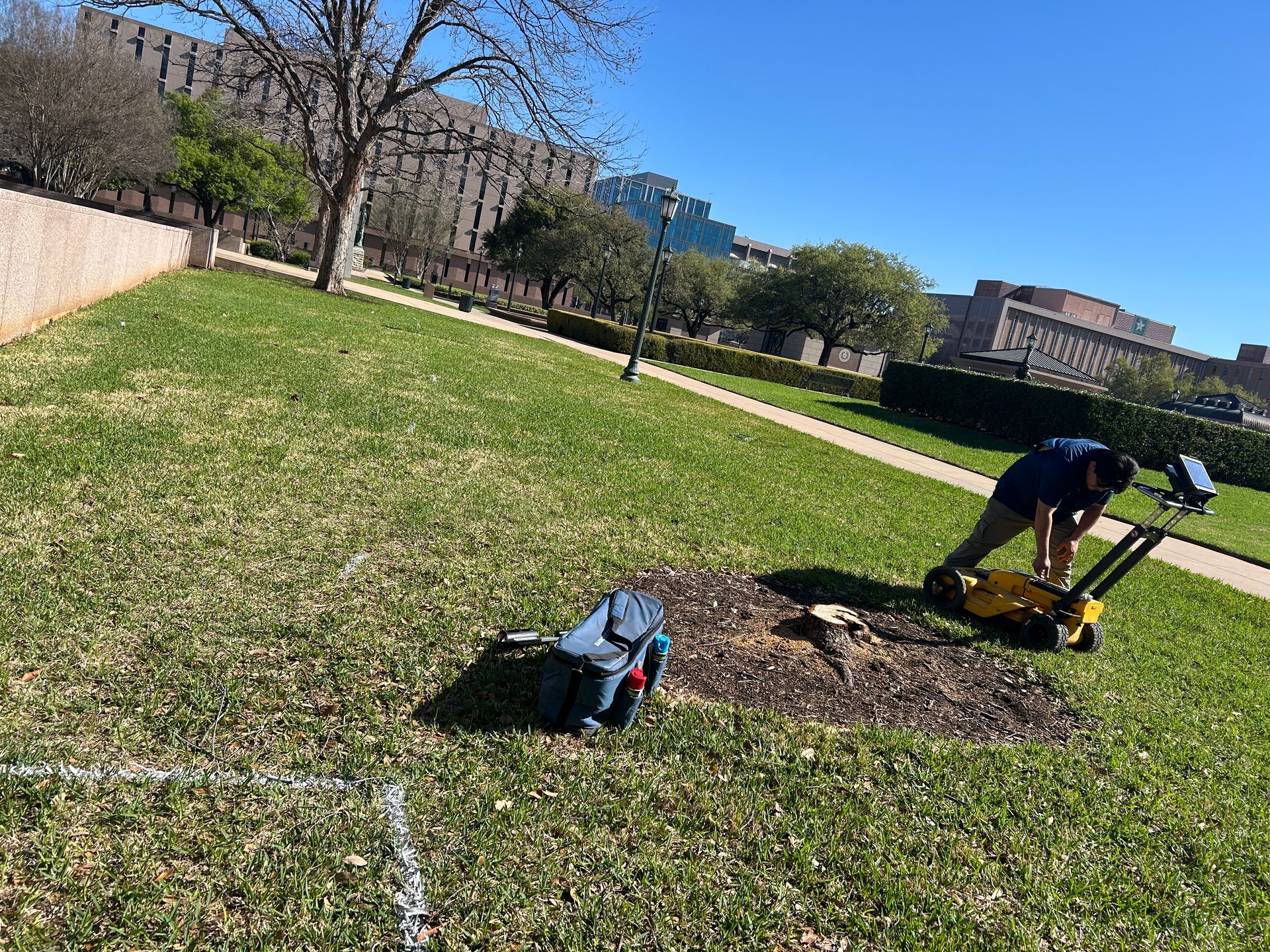 Water Main & Utility MappingMap mains, services and crossing utilities before replacement design or a replacement contract goes out.Learn more →
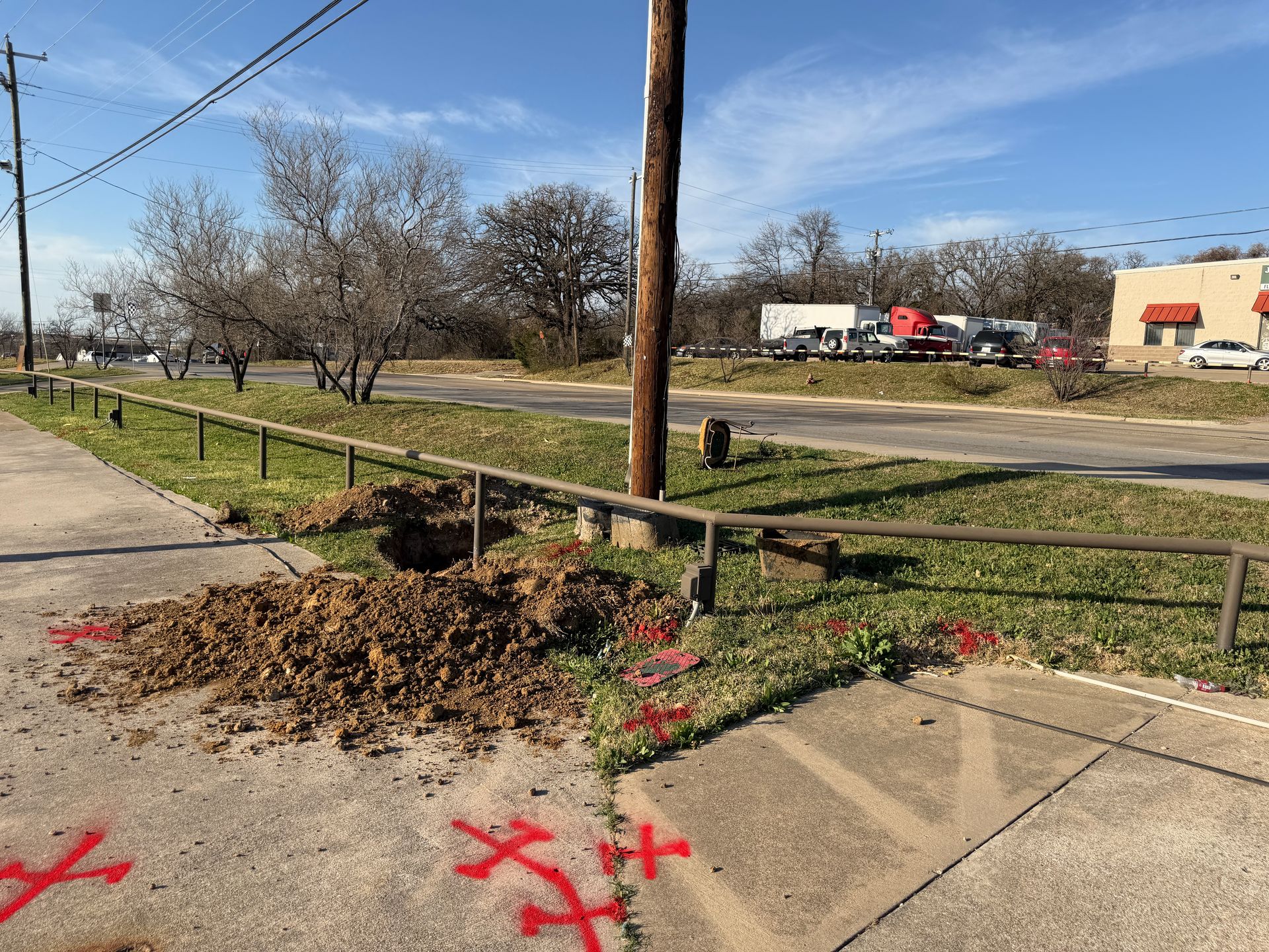 GPS & GIS Data DeliveryLocated features delivered as KMZ, shapefile or CSV, keyed to your account IDs, ready for the inventory or design.Learn more →
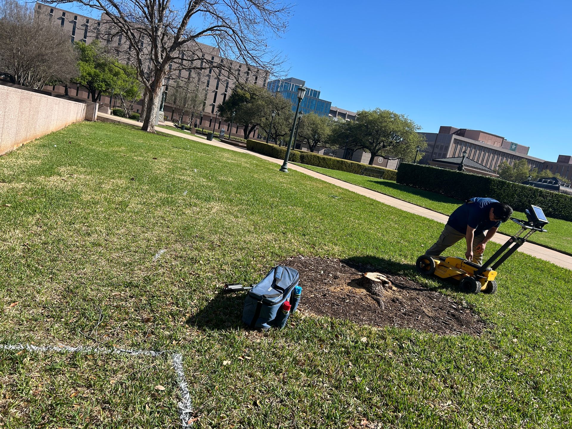 GPR Ground ScanningGround-penetrating radar for plastic and other non-metallic lines, abandoned pipe and buried features EM locators miss.Learn more →
- Sewer Camera InspectionCamera inspection of sewer mains and laterals to check for cross bores and conflicts before boring new service lines.Learn more →
Request a site assessment
Send the system name, area and rough line count. You'll get a written scope and price for locating, recording and mapping.
Calls ring straight through to the scheduling team. The form takes photos, drawings and site details.